Boundary inscription on Garstang Bridge
Introduction
The photograph on this page of Boundary inscription on Garstang Bridge by Humphrey Bolton as part of the Geograph project.
The Geograph project started in 2005 with the aim of publishing, organising and preserving representative images for every square kilometre of Great Britain, Ireland and the Isle of Man.

There are currently over 7.5m images from over 14,400 individuals and you can help contribute to the project by visiting https://www.geograph.org.uk
Boundary inscription on Garstang Bridge
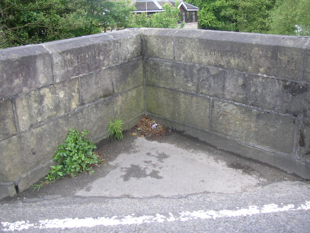
Image: © Humphrey Bolton Taken: 14 May 2007
Barnacre with Bonds on the left (no doubt these were once separate townships, but were established as a joint civil parish in 1866); Garstang on the right. The photograph shows the central pedestrian refuge, built on top of the cutwater.
Images are licensed for reuse under creativecommons.org/licenses/by-sa/2.0
Image Location
Latitude
53.897777
Longitude
-2.773041