Lucille House, Lawrie Park Road, Sydenham
Introduction
The photograph on this page of Lucille House, Lawrie Park Road, Sydenham by Stephen Craven as part of the Geograph project.
The Geograph project started in 2005 with the aim of publishing, organising and preserving representative images for every square kilometre of Great Britain, Ireland and the Isle of Man.

There are currently over 7.5m images from over 14,400 individuals and you can help contribute to the project by visiting https://www.geograph.org.uk
Lucille House, Lawrie Park Road, Sydenham
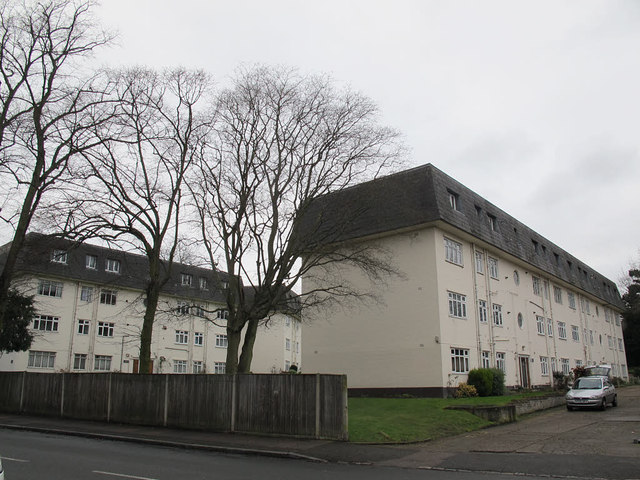
Image: © Stephen Craven Taken: 14 Feb 2015
The photo shows two of several matching blocks of flats comprising Park Court. The one nearest the camera is called Lucille House, but the rest appear to be named after racecourses; the block behind is Lingfield House.
Images are licensed for reuse under creativecommons.org/licenses/by-sa/2.0
Image Location
Latitude
51.420959
Longitude
-0.06012