Glyde Path Rd
Introduction
The photograph on this page of Glyde Path Rd by Nigel Mykura as part of the Geograph project.
The Geograph project started in 2005 with the aim of publishing, organising and preserving representative images for every square kilometre of Great Britain, Ireland and the Isle of Man.

There are currently over 7.5m images from over 14,400 individuals and you can help contribute to the project by visiting https://www.geograph.org.uk
Glyde Path Rd
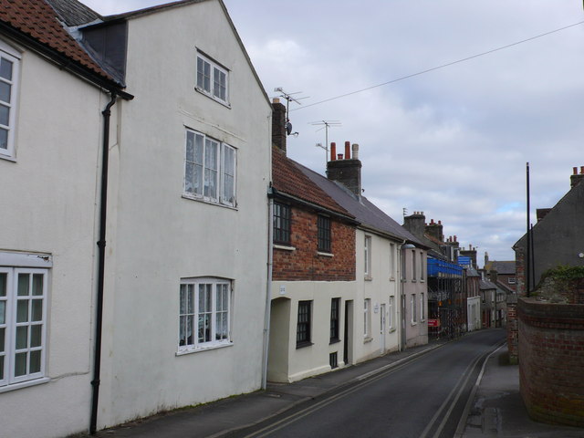
Image: © Nigel Mykura Taken: 18 Feb 2015
These are cottages on the northern side of Colliton St which runs east from Glyde Path down to North Square.
Images are licensed for reuse under creativecommons.org/licenses/by-sa/2.0
Image Location
Latitude
50.716095
Longitude
-2.437915