Trinity Cottages
Introduction
The photograph on this page of Trinity Cottages by Nigel Mykura as part of the Geograph project.
The Geograph project started in 2005 with the aim of publishing, organising and preserving representative images for every square kilometre of Great Britain, Ireland and the Isle of Man.

There are currently over 7.5m images from over 14,400 individuals and you can help contribute to the project by visiting https://www.geograph.org.uk
Trinity Cottages
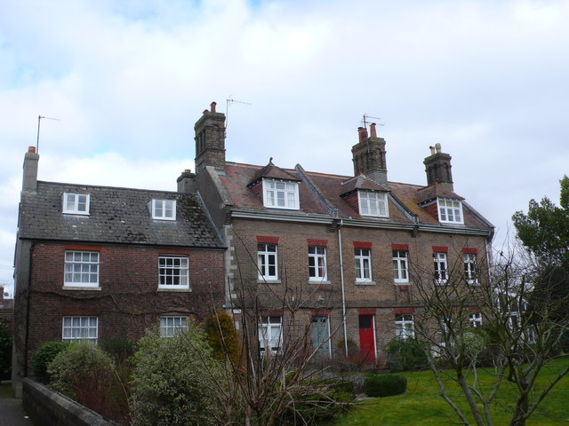
Image: © Nigel Mykura Taken: 18 Feb 2015
These cottages are on a small green square in between High West Street and Colliton St. They are named after the Roman Catholic Church of the Holy Trinity which is opposite them. On the left just visible in the foreground is Grey School Passage
Images are licensed for reuse under creativecommons.org/licenses/by-sa/2.0
Image Location
Latitude
50.715914
Longitude
-2.438197