Units at the northern end of Panteg Industrial Estate, Pontypool
Introduction
The photograph on this page of Units at the northern end of Panteg Industrial Estate, Pontypool by Jaggery as part of the Geograph project.
The Geograph project started in 2005 with the aim of publishing, organising and preserving representative images for every square kilometre of Great Britain, Ireland and the Isle of Man.

There are currently over 7.5m images from over 14,400 individuals and you can help contribute to the project by visiting https://www.geograph.org.uk
Units at the northern end of Panteg Industrial Estate, Pontypool
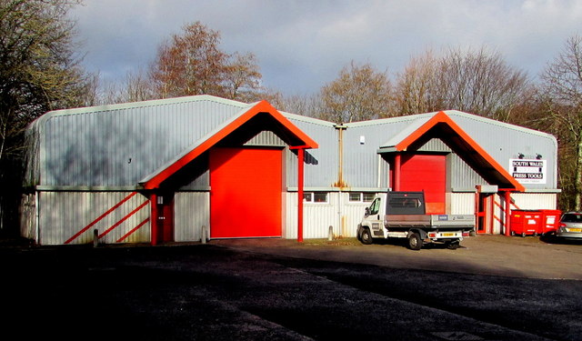
Image: © Jaggery Taken: 24 Jan 2015
The name of the right is SOUTH WALES PRESS TOOLS.
Images are licensed for reuse under creativecommons.org/licenses/by-sa/2.0
Image Location
Latitude
51.687639
Longitude
-3.022685