Field Number 70
Introduction
The photograph on this page of Field Number 70 by Simon Carey as part of the Geograph project.
The Geograph project started in 2005 with the aim of publishing, organising and preserving representative images for every square kilometre of Great Britain, Ireland and the Isle of Man.

There are currently over 7.5m images from over 14,400 individuals and you can help contribute to the project by visiting https://www.geograph.org.uk
Field Number 70
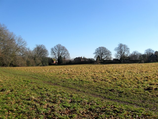
Image: © Simon Carey Taken: 17 Feb 2015
The number of the field according to Lindfield's 1845 tithe map that was marked as a copse on that map but was open field by the time of the 1875 OS map. It is bounded by Image to the north, the houses of Birchen Lane to the east, the grounds of Sunte House to the south and the footpath to the west.
Images are licensed for reuse under creativecommons.org/licenses/by-sa/2.0
Image Location


Leaflet Map data © OpenStreetMap
Latitude
51.014592
Longitude
-0.100081