St Michaels School
Introduction
The photograph on this page of St Michaels School by Alan Hunt as part of the Geograph project.
The Geograph project started in 2005 with the aim of publishing, organising and preserving representative images for every square kilometre of Great Britain, Ireland and the Isle of Man.

There are currently over 7.5m images from over 14,400 individuals and you can help contribute to the project by visiting https://www.geograph.org.uk
St Michaels School
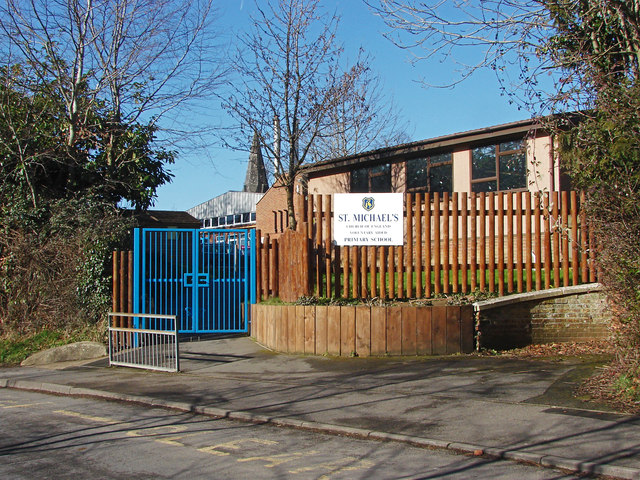
Image: © Alan Hunt Taken: 17 Feb 2015
The gates into the St Michaels Church Of England primary school on Lower Church Road with the church spire in the background.
Images are licensed for reuse under creativecommons.org/licenses/by-sa/2.0
Image Location
Latitude
51.349185
Longitude
-0.814181