Sandhurst High Street
Introduction
The photograph on this page of Sandhurst High Street by Alan Hunt as part of the Geograph project.
The Geograph project started in 2005 with the aim of publishing, organising and preserving representative images for every square kilometre of Great Britain, Ireland and the Isle of Man.

There are currently over 7.5m images from over 14,400 individuals and you can help contribute to the project by visiting https://www.geograph.org.uk
Sandhurst High Street
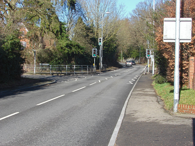
Image: © Alan Hunt Taken: 17 Feb 2015
Looking north along the High Street as it exits Sandhurst village with the junction of Lower Church Road on the left.
Images are licensed for reuse under creativecommons.org/licenses/by-sa/2.0
Image Location
Latitude
51.349092
Longitude
-0.813897