The Rose and Crown, Lower Ormeau Road
Introduction
The photograph on this page of The Rose and Crown, Lower Ormeau Road by Eric Jones as part of the Geograph project.
The Geograph project started in 2005 with the aim of publishing, organising and preserving representative images for every square kilometre of Great Britain, Ireland and the Isle of Man.

There are currently over 7.5m images from over 14,400 individuals and you can help contribute to the project by visiting https://www.geograph.org.uk
The Rose and Crown, Lower Ormeau Road
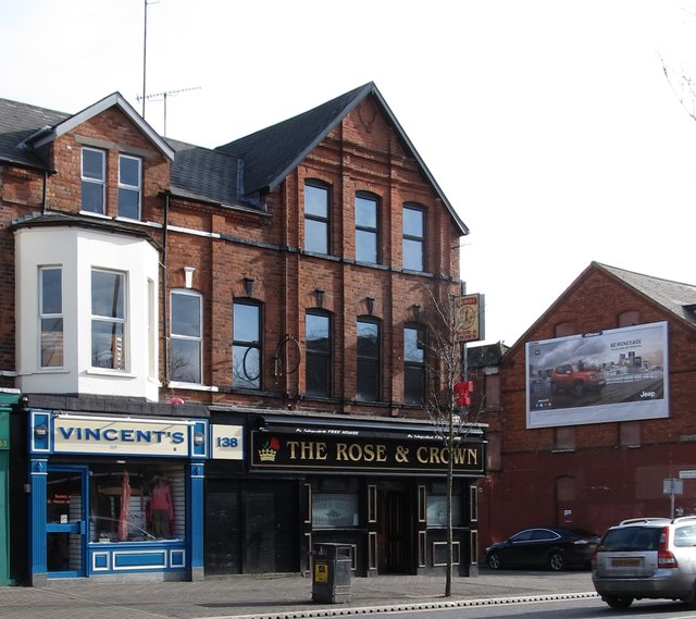
Image: © Eric Jones Taken: 17 Feb 2015
In May 1974, six Catholics were killed and 18 injured when the Ulster Volunteer Force (UVF) exploded a bomb at this pub.
Images are licensed for reuse under creativecommons.org/licenses/by-sa/2.0
Image Location
Latitude
54.585247
Longitude
-5.922796