Rallt Llangoed
Introduction
The photograph on this page of Rallt Llangoed by Eric Jones as part of the Geograph project.
The Geograph project started in 2005 with the aim of publishing, organising and preserving representative images for every square kilometre of Great Britain, Ireland and the Isle of Man.

There are currently over 7.5m images from over 14,400 individuals and you can help contribute to the project by visiting https://www.geograph.org.uk
Rallt Llangoed
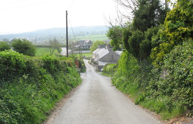
Image: © Eric Jones Taken: 27 Apr 2007
The road goes down the hill towards Llangoed Primary School
Images are licensed for reuse under creativecommons.org/licenses/by-sa/2.0
Image Location
Latitude
53.304191
Longitude
-4.084734