Boat Road, Newport
Introduction
The photograph on this page of Boat Road, Newport by Jim Bain as part of the Geograph project.
The Geograph project started in 2005 with the aim of publishing, organising and preserving representative images for every square kilometre of Great Britain, Ireland and the Isle of Man.

There are currently over 7.5m images from over 14,400 individuals and you can help contribute to the project by visiting https://www.geograph.org.uk
Boat Road, Newport
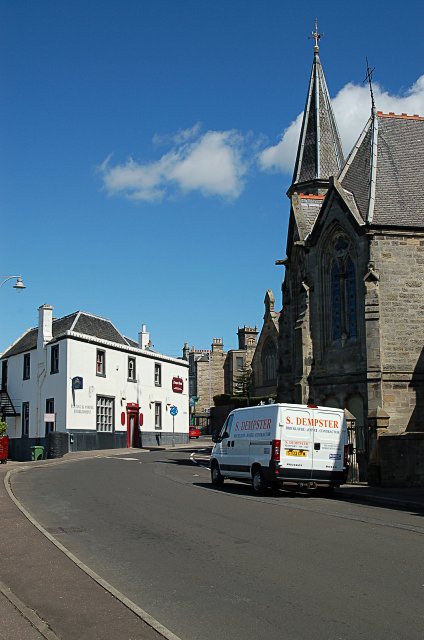
Image: © Jim Bain Taken: 15 May 2007
Boat Road by its eastern end with the Newport Hotel and the Free Church dominating.
Images are licensed for reuse under creativecommons.org/licenses/by-sa/2.0
Image Location


Leaflet Map data © OpenStreetMap
Latitude
56.438618
Longitude
-2.942723