Newport pier
Introduction
The photograph on this page of Newport pier by Jim Bain as part of the Geograph project.
The Geograph project started in 2005 with the aim of publishing, organising and preserving representative images for every square kilometre of Great Britain, Ireland and the Isle of Man.

There are currently over 7.5m images from over 14,400 individuals and you can help contribute to the project by visiting https://www.geograph.org.uk
Newport pier
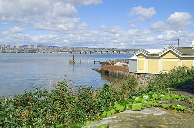
Image: © Jim Bain Taken: 15 May 2007
A Thomas Telford pier built in 1823. It served as one of the main routes from NE Fife into Dundee and points north for the next 143 years until the 18 Aug 1966 when the Tay road bridge opened for traffic. Now it's used for the servicing and repair of small craft. Tay road bridge and Dundee in the distance.
Images are licensed for reuse under creativecommons.org/licenses/by-sa/2.0
Image Location
Latitude
56.437513
Longitude
-2.946264