The Black Bull's Head, Openwoodgate
Introduction
The photograph on this page of The Black Bull's Head, Openwoodgate by Stephen McKay as part of the Geograph project.
The Geograph project started in 2005 with the aim of publishing, organising and preserving representative images for every square kilometre of Great Britain, Ireland and the Isle of Man.

There are currently over 7.5m images from over 14,400 individuals and you can help contribute to the project by visiting https://www.geograph.org.uk
The Black Bull's Head, Openwoodgate
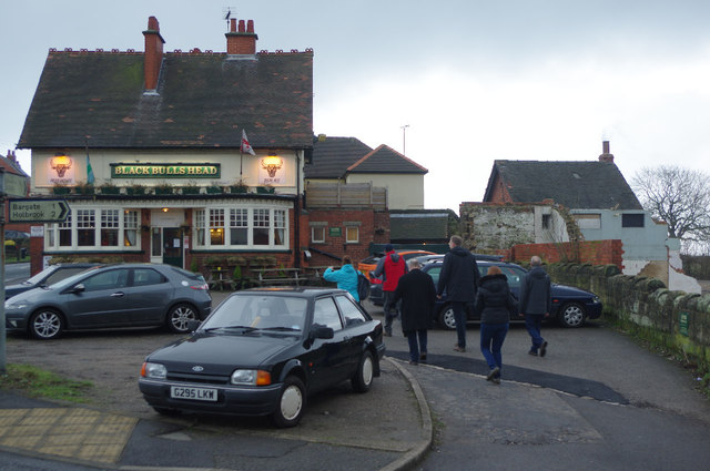
Image: © Stephen McKay Taken: 14 Feb 2015
Pub at the junction of Kilburn Lane and Sandbed Lane; the small brick building to the right houses the Bedlam Bar which serves ales direct from the cask.
Images are licensed for reuse under creativecommons.org/licenses/by-sa/2.0
Image Location
Latitude
53.021731
Longitude
-1.451645