St Teilo's churchyard, Pontarddulais
Introduction
The photograph on this page of St Teilo's churchyard, Pontarddulais by Jaggery as part of the Geograph project.
The Geograph project started in 2005 with the aim of publishing, organising and preserving representative images for every square kilometre of Great Britain, Ireland and the Isle of Man.

There are currently over 7.5m images from over 14,400 individuals and you can help contribute to the project by visiting https://www.geograph.org.uk
St Teilo's churchyard, Pontarddulais
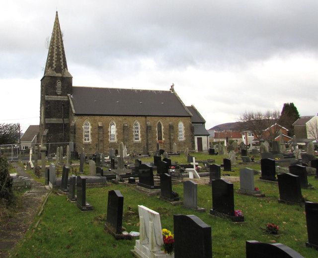
Image: © Jaggery Taken: 14 Feb 2015
About two-thirds of the churchyard is on this (the south) side of the church in the Church in Wales Parish of Llandeilo Tal-y-Bont in the Diocese of Swansea & Brecon.
Images are licensed for reuse under creativecommons.org/licenses/by-sa/2.0
Image Location
Latitude
51.710285
Longitude
-4.032909