Chelmer and Blackwater Navigation
Introduction
The photograph on this page of Chelmer and Blackwater Navigation by Robin Lucas as part of the Geograph project.
The Geograph project started in 2005 with the aim of publishing, organising and preserving representative images for every square kilometre of Great Britain, Ireland and the Isle of Man.

There are currently over 7.5m images from over 14,400 individuals and you can help contribute to the project by visiting https://www.geograph.org.uk
Chelmer and Blackwater Navigation
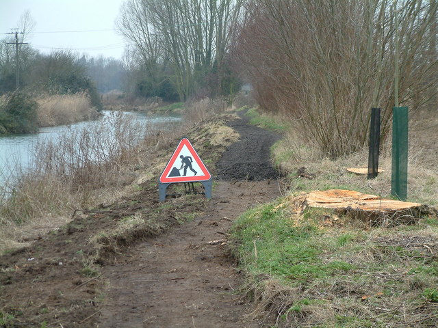
Image: © Robin Lucas Taken: 13 Feb 2015
The footpath beside the river/canal is undergoing maintenance, and resurfacing. Some of the larger trees have been cut down, and new trees are being planted.
Images are licensed for reuse under creativecommons.org/licenses/by-sa/2.0
Image Location
Latitude
51.729689
Longitude
0.504674