Derelict shed beside the road, Lucker
Introduction
The photograph on this page of Derelict shed beside the road, Lucker by Graham Robson as part of the Geograph project.
The Geograph project started in 2005 with the aim of publishing, organising and preserving representative images for every square kilometre of Great Britain, Ireland and the Isle of Man.

There are currently over 7.5m images from over 14,400 individuals and you can help contribute to the project by visiting https://www.geograph.org.uk
Derelict shed beside the road, Lucker
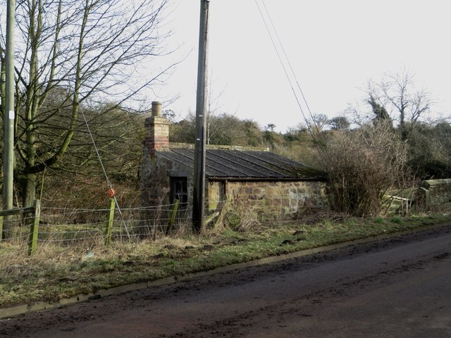
Image: © Graham Robson Taken: 7 Feb 2015
At the southern edge of Lucker this derelict stone hut sits on the edge of a grass field. I'm not sure of its original purpose but it looks like it's been here for a long time.
Images are licensed for reuse under creativecommons.org/licenses/by-sa/2.0
Image Location
Latitude
55.565059
Longitude
-1.75833