The Highlands, Cuckfield
Introduction
The photograph on this page of The Highlands, Cuckfield by Simon Carey as part of the Geograph project.
The Geograph project started in 2005 with the aim of publishing, organising and preserving representative images for every square kilometre of Great Britain, Ireland and the Isle of Man.

There are currently over 7.5m images from over 14,400 individuals and you can help contribute to the project by visiting https://www.geograph.org.uk
The Highlands, Cuckfield
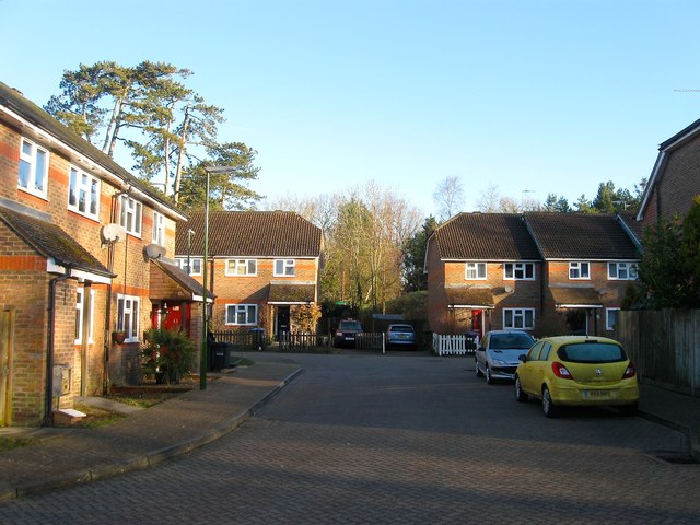
Image: © Simon Carey Taken: 17 Feb 2015
A new part of a much older estate, see Image, that was built on the site of a former council depot during the 1990s. Originally a field called Gores Field according to Cuckfield's 1843 tithe map that became woodland and part of Gores Wood until the council depot arrived in the 1950s.
Images are licensed for reuse under creativecommons.org/licenses/by-sa/2.0
Image Location
Latitude
51.016215
Longitude
-0.133805