Horsgate Lane
Introduction
The photograph on this page of Horsgate Lane by Simon Carey as part of the Geograph project.
The Geograph project started in 2005 with the aim of publishing, organising and preserving representative images for every square kilometre of Great Britain, Ireland and the Isle of Man.

There are currently over 7.5m images from over 14,400 individuals and you can help contribute to the project by visiting https://www.geograph.org.uk
Horsgate Lane
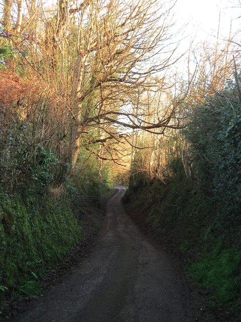
Image: © Simon Carey Taken: 17 Feb 2015
Heading northwards to Horsgate and Linhay Farms where it ends though the layout of the land north of them suggests it may have once continued on to either Horsgate house or Hanlye Lane.
Images are licensed for reuse under creativecommons.org/licenses/by-sa/2.0
Image Location
Latitude
51.00817
Longitude
-0.131277