Hatchlands, Cuckfield
Introduction
The photograph on this page of Hatchlands, Cuckfield by Simon Carey as part of the Geograph project.
The Geograph project started in 2005 with the aim of publishing, organising and preserving representative images for every square kilometre of Great Britain, Ireland and the Isle of Man.

There are currently over 7.5m images from over 14,400 individuals and you can help contribute to the project by visiting https://www.geograph.org.uk
Hatchlands, Cuckfield
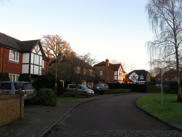
Image: © Simon Carey Taken: 17 Feb 2015
A small cul de sac off Broad Street that was developed in the 1980s in the grounds of a former Victorian townhouse of the same name. Unlike neighbouring Myttens the house was demolished.
Images are licensed for reuse under creativecommons.org/licenses/by-sa/2.0
Image Location
Latitude
51.007178
Longitude
-0.136733