Mytten Close, Cuckfield
Introduction
The photograph on this page of Mytten Close, Cuckfield by Simon Carey as part of the Geograph project.
The Geograph project started in 2005 with the aim of publishing, organising and preserving representative images for every square kilometre of Great Britain, Ireland and the Isle of Man.

There are currently over 7.5m images from over 14,400 individuals and you can help contribute to the project by visiting https://www.geograph.org.uk
Mytten Close, Cuckfield
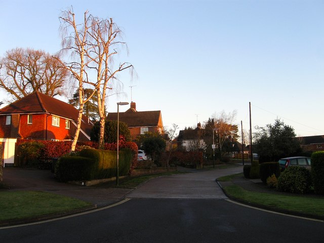
Image: © Simon Carey Taken: 17 Feb 2015
This section of Mytten Close was built in the 1960s in the grounds of a large house called Myttens which still stands but is now surrounded by the estate. According to Cuckfield's 1843 tithe map this was once a field called Bull Field.
Images are licensed for reuse under creativecommons.org/licenses/by-sa/2.0
Image Location
Latitude
51.007199
Longitude
-0.138015