Bolgoed Road in Pontarddulais
Introduction
The photograph on this page of Bolgoed Road in Pontarddulais by Jaggery as part of the Geograph project.
The Geograph project started in 2005 with the aim of publishing, organising and preserving representative images for every square kilometre of Great Britain, Ireland and the Isle of Man.

There are currently over 7.5m images from over 14,400 individuals and you can help contribute to the project by visiting https://www.geograph.org.uk
Bolgoed Road in Pontarddulais
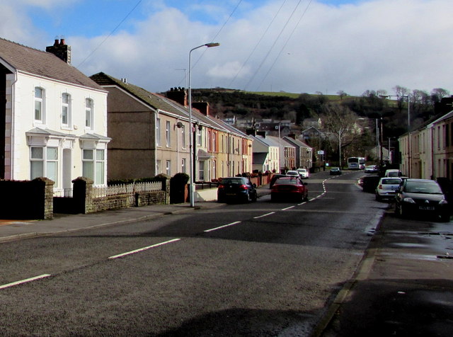
Image: © Jaggery Taken: 14 Feb 2015
The A48 has various names on its route through Pontarddulais. Here it is Bolgoed Road.
Images are licensed for reuse under creativecommons.org/licenses/by-sa/2.0
Image Location
Latitude
51.710512
Longitude
-4.030168