Erection of a building
Introduction
The photograph on this page of Erection of a building by John Baker as part of the Geograph project.
The Geograph project started in 2005 with the aim of publishing, organising and preserving representative images for every square kilometre of Great Britain, Ireland and the Isle of Man.

There are currently over 7.5m images from over 14,400 individuals and you can help contribute to the project by visiting https://www.geograph.org.uk
Erection of a building
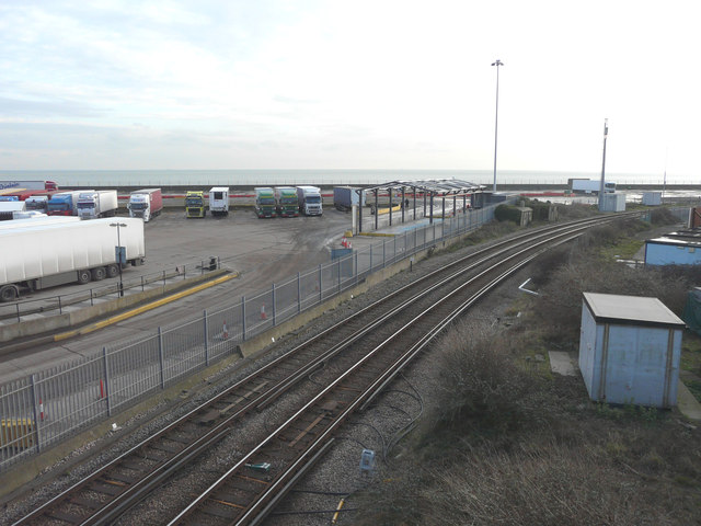
Image: © John Baker Taken: 30 Jan 2015
Seen from The Viaduct, the building is located in the freight clearance & truck stop lorry park. The railway lines run between Dover Priory and Folkestone Central stations.
Images are licensed for reuse under creativecommons.org/licenses/by-sa/2.0
Image Location
Latitude
51.115308
Longitude
1.308839