Culquhirk
Introduction
The photograph on this page of Culquhirk by Oliver Dixon as part of the Geograph project.
The Geograph project started in 2005 with the aim of publishing, organising and preserving representative images for every square kilometre of Great Britain, Ireland and the Isle of Man.

There are currently over 7.5m images from over 14,400 individuals and you can help contribute to the project by visiting https://www.geograph.org.uk
Culquhirk
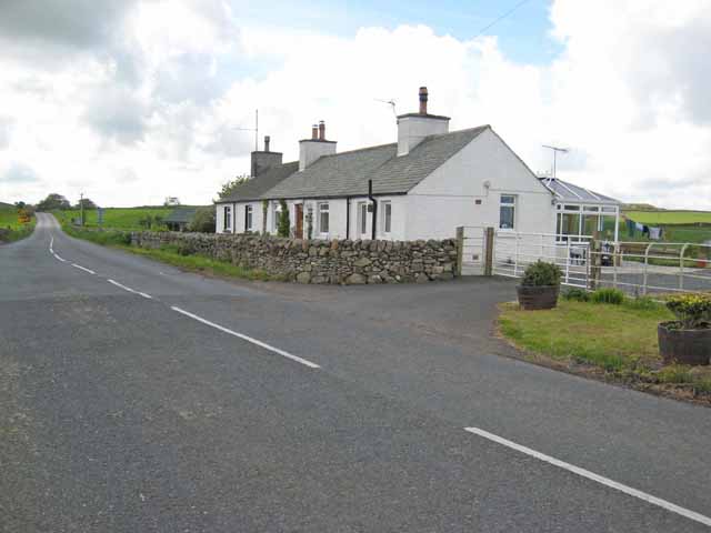
Image: © Oliver Dixon Taken: 8 May 2007
A couple of cottages on the B7005 which is effectively a by-pass for Wigtown. Located at the junction with the main A714 which goes into Wigtown before continuing on to Whithorn.
Images are licensed for reuse under creativecommons.org/licenses/by-sa/2.0
Image Location
Latitude
54.879783
Longitude
-4.453716