Carricklee Townland
Introduction
The photograph on this page of Carricklee Townland by Kenneth Allen as part of the Geograph project.
The Geograph project started in 2005 with the aim of publishing, organising and preserving representative images for every square kilometre of Great Britain, Ireland and the Isle of Man.

There are currently over 7.5m images from over 14,400 individuals and you can help contribute to the project by visiting https://www.geograph.org.uk
Carricklee Townland
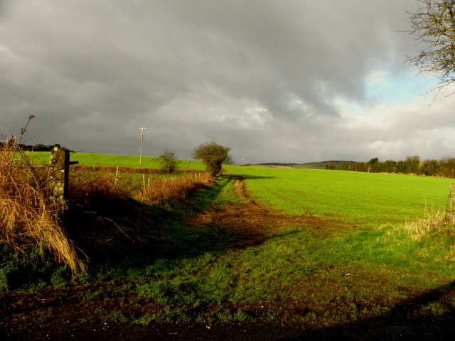
Image: © Kenneth Allen Taken: 17 Feb 2015
Pictured along Carrick Avenue, I remember going to a point to point horse race here some time in the 1960s and losing 6 shillings, betting on a race, never won, so never ever placed a bet again.
Images are licensed for reuse under creativecommons.org/licenses/by-sa/2.0
Image Location
Latitude
54.812232
Longitude
-7.496198