Public byway to Brooks Farm
Introduction
The photograph on this page of Public byway to Brooks Farm by Robin Webster as part of the Geograph project.
The Geograph project started in 2005 with the aim of publishing, organising and preserving representative images for every square kilometre of Great Britain, Ireland and the Isle of Man.

There are currently over 7.5m images from over 14,400 individuals and you can help contribute to the project by visiting https://www.geograph.org.uk
Public byway to Brooks Farm
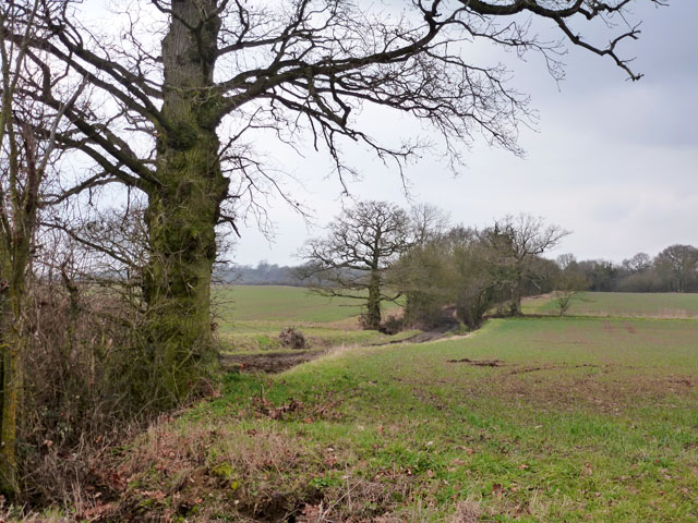
Image: © Robin Webster Taken: 15 Feb 2015
This touches the corner of Coppy Wood in the distance, then turns sharp left to emerge on the lane by Brooks Farm.
Images are licensed for reuse under creativecommons.org/licenses/by-sa/2.0
Image Location
Latitude
51.903834
Longitude
0.642582