Radar tower at former RAF Rivenhall
Introduction
The photograph on this page of Radar tower at former RAF Rivenhall by Robin Webster as part of the Geograph project.
The Geograph project started in 2005 with the aim of publishing, organising and preserving representative images for every square kilometre of Great Britain, Ireland and the Isle of Man.

There are currently over 7.5m images from over 14,400 individuals and you can help contribute to the project by visiting https://www.geograph.org.uk
Radar tower at former RAF Rivenhall
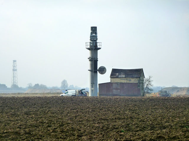
Image: © Robin Webster Taken: 15 Feb 2015
A tower erected by Marconi, who took over the airfield for radar research after it closed. The vehicles with tailgates and bonnets up turned out to belong to aero modellers, preserving the old flying tradition of the site.
Images are licensed for reuse under creativecommons.org/licenses/by-sa/2.0
Image Location
Latitude
51.85663
Longitude
0.658114