Treorchy
Introduction
The photograph on this page of Treorchy by Stephen McKay as part of the Geograph project.
The Geograph project started in 2005 with the aim of publishing, organising and preserving representative images for every square kilometre of Great Britain, Ireland and the Isle of Man.

There are currently over 7.5m images from over 14,400 individuals and you can help contribute to the project by visiting https://www.geograph.org.uk
Treorchy
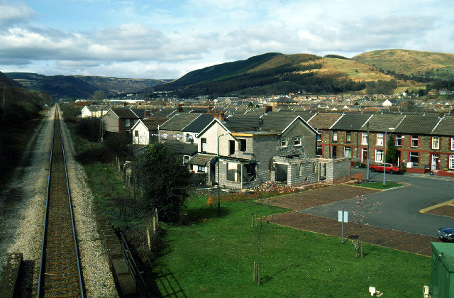
Image: © Stephen McKay Taken: Unknown
Looking up Rhondda Fawr. The Rhondda valleys were once best known for coal mining, but there are no collieries left there now.
Images are licensed for reuse under creativecommons.org/licenses/by-sa/2.0
Image Location


Leaflet Map data © OpenStreetMap
Latitude
51.657539
Longitude
-3.512095