Bung Row, Great Braxted
Introduction
The photograph on this page of Bung Row, Great Braxted by Robin Webster as part of the Geograph project.
The Geograph project started in 2005 with the aim of publishing, organising and preserving representative images for every square kilometre of Great Britain, Ireland and the Isle of Man.

There are currently over 7.5m images from over 14,400 individuals and you can help contribute to the project by visiting https://www.geograph.org.uk
Bung Row, Great Braxted
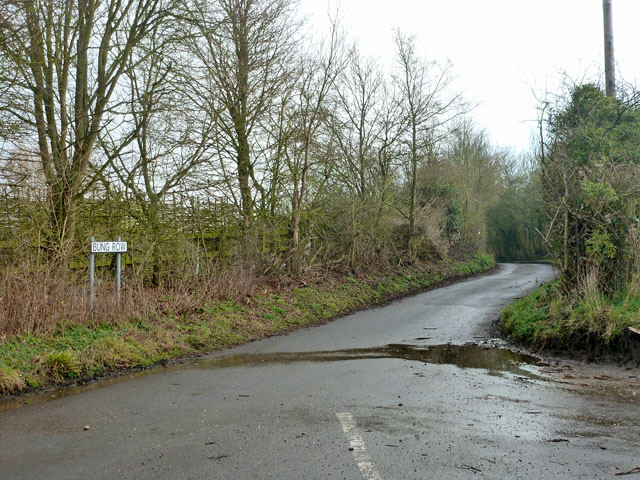
Image: © Robin Webster Taken: 15 Feb 2015
The Sextons Lane end of this short lane. The odd name was once that of the entire settlement at the other end of the lane, currently mapped as Great Braxted. Great Braxted parish is quite diffuse, and a large part of its area is the local 'big house' and its park, where the church is found. The original village was evicted when the park was enclosed.
Images are licensed for reuse under creativecommons.org/licenses/by-sa/2.0
Image Location
Latitude
51.794378
Longitude
0.69448