Path in James Cooke Wood
Introduction
The photograph on this page of Path in James Cooke Wood by Robin Webster as part of the Geograph project.
The Geograph project started in 2005 with the aim of publishing, organising and preserving representative images for every square kilometre of Great Britain, Ireland and the Isle of Man.

There are currently over 7.5m images from over 14,400 individuals and you can help contribute to the project by visiting https://www.geograph.org.uk
Path in James Cooke Wood
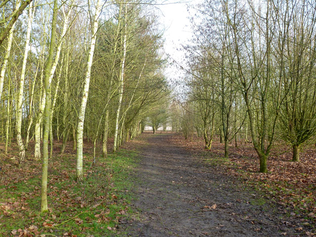
Image: © Robin Webster Taken: 15 Feb 2015
A public amenity, courtesy of Witham Town Council. A quite recently planted wood, with little natural invasion as yet. The paths are muddy in winter, in places wet.
Images are licensed for reuse under creativecommons.org/licenses/by-sa/2.0
Image Location


Leaflet Map data © OpenStreetMap
Latitude
51.779884
Longitude
0.635621