Stourbridge Town station
Introduction
The photograph on this page of Stourbridge Town station by Stephen Craven as part of the Geograph project.
The Geograph project started in 2005 with the aim of publishing, organising and preserving representative images for every square kilometre of Great Britain, Ireland and the Isle of Man.

There are currently over 7.5m images from over 14,400 individuals and you can help contribute to the project by visiting https://www.geograph.org.uk
Stourbridge Town station
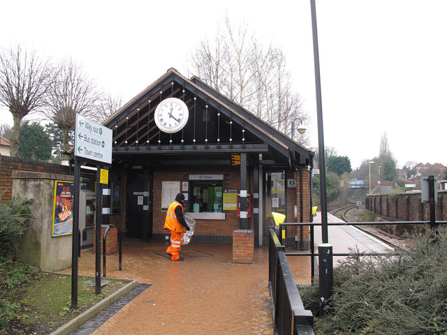
Image: © Stephen Craven Taken: 7 Feb 2015
The station is at the bottom of a steeply-graded branch line (less than a mile long) from Stourbridge Junction on the main Birmingham-Hereford line.
Images are licensed for reuse under creativecommons.org/licenses/by-sa/2.0
Image Location
Latitude
52.455577
Longitude
-2.141965