Stonebridge Park, Cwmbran
Introduction
The photograph on this page of Stonebridge Park, Cwmbran by Jaggery as part of the Geograph project.
The Geograph project started in 2005 with the aim of publishing, organising and preserving representative images for every square kilometre of Great Britain, Ireland and the Isle of Man.

There are currently over 7.5m images from over 14,400 individuals and you can help contribute to the project by visiting https://www.geograph.org.uk
Stonebridge Park, Cwmbran
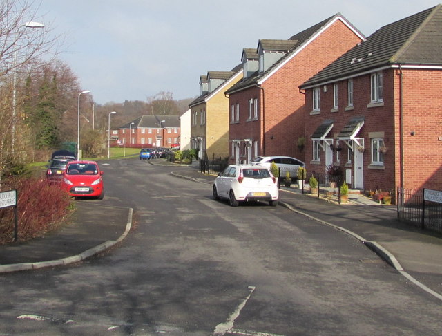
Image: © Jaggery Taken: 15 Feb 2015
Viewed across Afon Terrace. Stonebridge Park is a cul-de-sac of about 60 houses built c2006-2007 on the east bank of a river, the Afon Lwyd.
Images are licensed for reuse under creativecommons.org/licenses/by-sa/2.0
Image Location
Latitude
51.660286
Longitude
-3.014407