Upper Southview, Farnham
Introduction
The photograph on this page of Upper Southview, Farnham by Alan Hunt as part of the Geograph project.
The Geograph project started in 2005 with the aim of publishing, organising and preserving representative images for every square kilometre of Great Britain, Ireland and the Isle of Man.

There are currently over 7.5m images from over 14,400 individuals and you can help contribute to the project by visiting https://www.geograph.org.uk
Upper Southview, Farnham
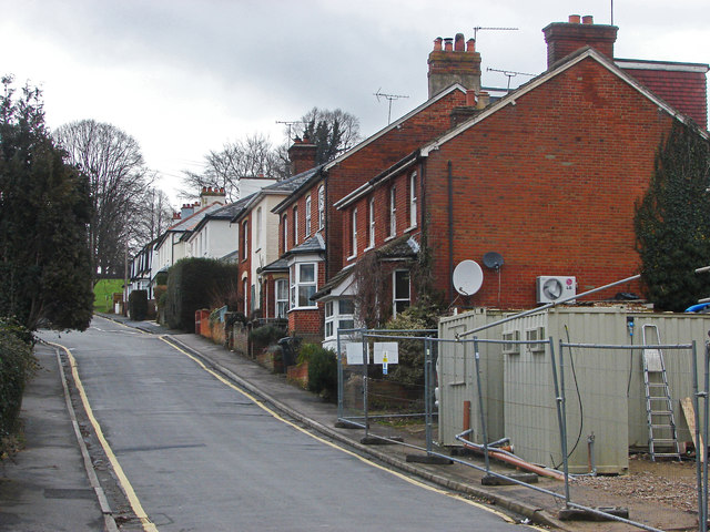
Image: © Alan Hunt Taken: 14 Feb 2015
One of the residential roads leading from the town centre to Farnham Park. The barrier at the bottom right surrounds a former industrial site that is being redeveloped for housing.
Images are licensed for reuse under creativecommons.org/licenses/by-sa/2.0
Image Location


Leaflet Map data © OpenStreetMap
Latitude
51.217895
Longitude
-0.796222