Field at Stoney Brae
Introduction
The photograph on this page of Field at Stoney Brae by Lairich Rig as part of the Geograph project.
The Geograph project started in 2005 with the aim of publishing, organising and preserving representative images for every square kilometre of Great Britain, Ireland and the Isle of Man.

There are currently over 7.5m images from over 14,400 individuals and you can help contribute to the project by visiting https://www.geograph.org.uk
Field at Stoney Brae
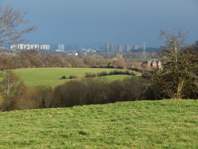
Image: © Lairich Rig Taken: 26 Jan 2015
The picture was taken from the edge of the field (Image), just off a path called Stoney Brae; see http://www.geograph.org.uk/snippet/12792 for that path. A house called Image can be seen in the middle distance, on the right. Much further away, a little right of centre, is the distinctive water tower of the former Leverndale Hospital, 3.4 km away: Image / Image / Image
Images are licensed for reuse under creativecommons.org/licenses/by-sa/2.0
Image Location
Latitude
55.821213
Longitude
-4.418952