Stoney Brae
Introduction
The photograph on this page of Stoney Brae by Lairich Rig as part of the Geograph project.
The Geograph project started in 2005 with the aim of publishing, organising and preserving representative images for every square kilometre of Great Britain, Ireland and the Isle of Man.

There are currently over 7.5m images from over 14,400 individuals and you can help contribute to the project by visiting https://www.geograph.org.uk
Stoney Brae
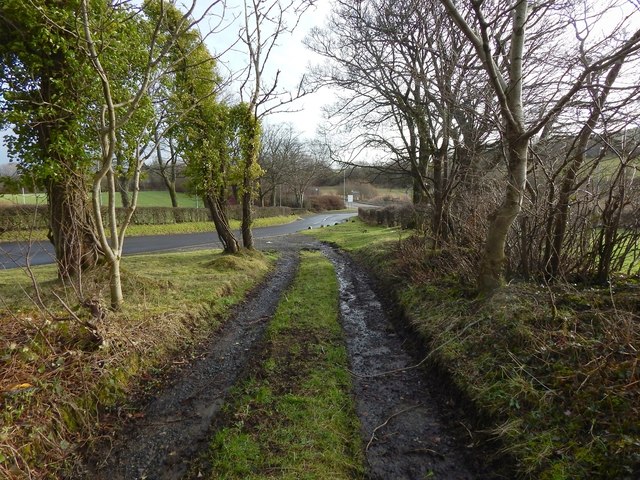
Image: © Lairich Rig Taken: 26 Jan 2015
This is the last part of the downhill route; it ends where it meets Caplethill Road, a small part of which can be seen ahead, behind a white sign. The nearer road heading off to the left leads to a sports centre.
Images are licensed for reuse under creativecommons.org/licenses/by-sa/2.0
Image Location
Latitude
55.819183
Longitude
-4.41707