Farmland near Stowell
Introduction
The photograph on this page of Farmland near Stowell by Derek Harper as part of the Geograph project.
The Geograph project started in 2005 with the aim of publishing, organising and preserving representative images for every square kilometre of Great Britain, Ireland and the Isle of Man.

There are currently over 7.5m images from over 14,400 individuals and you can help contribute to the project by visiting https://www.geograph.org.uk
Farmland near Stowell
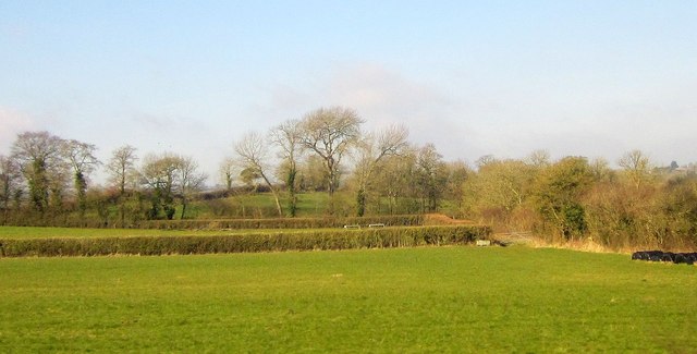
Image: © Derek Harper Taken: 9 Feb 2015
Footpath 40UD021 WN 7/20 goes through the gate at the right end of the hedge to reach the tree-lined lane at the next field boundary. The hillside field across the lane is called Starve Acre. View from an Exeter-bound train.
Images are licensed for reuse under creativecommons.org/licenses/by-sa/2.0
Image Location
Latitude
50.992083
Longitude
-2.459459