Hazelgrove Road, Haywards Heath
Introduction
The photograph on this page of Hazelgrove Road, Haywards Heath by Simon Carey as part of the Geograph project.
The Geograph project started in 2005 with the aim of publishing, organising and preserving representative images for every square kilometre of Great Britain, Ireland and the Isle of Man.

There are currently over 7.5m images from over 14,400 individuals and you can help contribute to the project by visiting https://www.geograph.org.uk
Hazelgrove Road, Haywards Heath
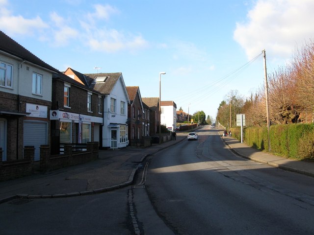
Image: © Simon Carey Taken: 8 Feb 2015
The B2112 heading north from Sussex Square. The road predates the town following what was an old track over barren heathland and began to be developed in the 1870s particularly the western side whilst the eastern side remained part of the grounds of the Priory of Our Lady with some development during the 10th century, particularly Image and St Joseph's School. At the junction with Church Road the name changes to Oathall Road.
Images are licensed for reuse under creativecommons.org/licenses/by-sa/2.0
Image Location
Latitude
50.997339
Longitude
-0.100928