Lampeter Fundamental Benchmark
Introduction
The photograph on this page of Lampeter Fundamental Benchmark by N Scott as part of the Geograph project.
The Geograph project started in 2005 with the aim of publishing, organising and preserving representative images for every square kilometre of Great Britain, Ireland and the Isle of Man.

There are currently over 7.5m images from over 14,400 individuals and you can help contribute to the project by visiting https://www.geograph.org.uk
Lampeter Fundamental Benchmark
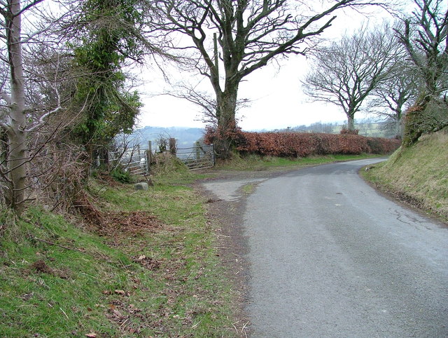
Image: © N Scott Taken: 11 Feb 2015
Fundamental benchmarks are the Ordnance Survey's highest precision benchmarks, from which the heights of lower-order benchmarks were derived. They are situated in areas where the underlying solid geology is relatively near the surface and are anchored to the bedrock. They are still in use today as part of the OS's National GPS network. This one was badly damaged in 2011 and repaired by the OS in 2012: http://www.ordnancesurvey.co.uk/blog/2012/12/keeping-our-fundamental-bench-marks-in-order/ The road to Talsarn continues around the bend. Close-up: Image Wideangle: Image
Images are licensed for reuse under creativecommons.org/licenses/by-sa/2.0
Image Location
Latitude
52.153615
Longitude
-4.077304