NW boundary sign for Pontlliw
Introduction
The photograph on this page of NW boundary sign for Pontlliw by Jaggery as part of the Geograph project.
The Geograph project started in 2005 with the aim of publishing, organising and preserving representative images for every square kilometre of Great Britain, Ireland and the Isle of Man.

There are currently over 7.5m images from over 14,400 individuals and you can help contribute to the project by visiting https://www.geograph.org.uk
NW boundary sign for Pontlliw
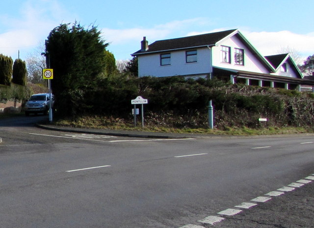
Image: © Jaggery Taken: 14 Feb 2015
Viewed across the A48 near the SE edge of Pontarddulais. Pontlliw is a village in the City and County of Swansea.
Images are licensed for reuse under creativecommons.org/licenses/by-sa/2.0
Image Location
Latitude
51.703351
Longitude
-4.017835