Malig Mill: detail
Introduction
The photograph on this page of Malig Mill: detail by Lairich Rig as part of the Geograph project.
The Geograph project started in 2005 with the aim of publishing, organising and preserving representative images for every square kilometre of Great Britain, Ireland and the Isle of Man.

There are currently over 7.5m images from over 14,400 individuals and you can help contribute to the project by visiting https://www.geograph.org.uk
Malig Mill: detail
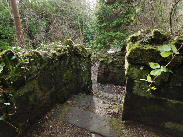
Image: © Lairich Rig Taken: 2 Feb 2015
This is a view back from the top of the flight of steps that is shown in Image See Image for the main description of the ruin, and click on the end-note title for related pictures.
Images are licensed for reuse under creativecommons.org/licenses/by-sa/2.0
Image Location
Latitude
56.006683
Longitude
-4.730526