Llethryd
Introduction
The photograph on this page of Llethryd by Alan Richards as part of the Geograph project.
The Geograph project started in 2005 with the aim of publishing, organising and preserving representative images for every square kilometre of Great Britain, Ireland and the Isle of Man.

There are currently over 7.5m images from over 14,400 individuals and you can help contribute to the project by visiting https://www.geograph.org.uk
Llethryd
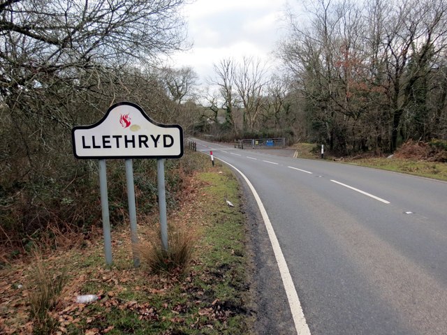
Image: © Alan Richards Taken: 14 Feb 2015
Y B4271 yn cyrraedd pentref bach Llethryd. Enwir y pentref ar ol Nant Llethrid gerllaw sy'n golygu 'disglair /llachar'. The B4271 arriving at the tiny hamlet of Llethryd. The village is named after the nearby Llethrid stream which means 'shining / bright'.
Images are licensed for reuse under creativecommons.org/licenses/by-sa/2.0
Image Location
Latitude
51.602324
Longitude
-4.12209