Field northeast of Hilltop House, Beaulieu, New Forest
Introduction
The photograph on this page of Field northeast of Hilltop House, Beaulieu, New Forest by Jim Champion as part of the Geograph project.
The Geograph project started in 2005 with the aim of publishing, organising and preserving representative images for every square kilometre of Great Britain, Ireland and the Isle of Man.

There are currently over 7.5m images from over 14,400 individuals and you can help contribute to the project by visiting https://www.geograph.org.uk
Field northeast of Hilltop House, Beaulieu, New Forest
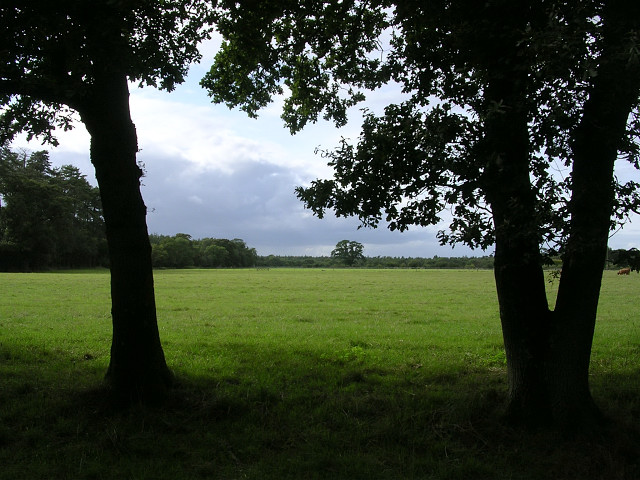
Image: © Jim Champion Taken: 26 Aug 2005
The cattle in this field were very uncooperative while I took this photo, and tried to stay out of the shot - one of them is just visible on the far right. The field is between Hilltop House and the eastern boundary of the Beaulieu Estate. The "Monks Well" is somewhere on private land in the woods on the left of the picture, which presumably once supplied the Cistercian Abbey at Beaulieu.
Images are licensed for reuse under creativecommons.org/licenses/by-sa/2.0
Image Location


Leaflet Map data © OpenStreetMap
Latitude
50.825171
Longitude
-1.434887