Field and edge of village, Steeple Claydon
Introduction
The photograph on this page of Field and edge of village, Steeple Claydon by Andy Gryce as part of the Geograph project.
The Geograph project started in 2005 with the aim of publishing, organising and preserving representative images for every square kilometre of Great Britain, Ireland and the Isle of Man.

There are currently over 7.5m images from over 14,400 individuals and you can help contribute to the project by visiting https://www.geograph.org.uk
Field and edge of village, Steeple Claydon
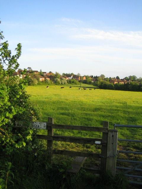
Image: © Andy Gryce Taken: 12 May 2007
This view to the south shows part of the northern edge of Steeple Claydon across a field. The village is in north-west Buckinghamshire, and has a population of about 1,600, and is one of four villages, the others being East Claydon, Middle Claydon, and Botolph Claydon, known collectively as The Claydons. All the houses in this photograph are relatively new, the older part of the village being a little further south.
Images are licensed for reuse under creativecommons.org/licenses/by-sa/2.0
Image Location
Latitude
51.939777
Longitude
-0.979352