The fault-guided Kilbroney valley behind Rostrevor
Introduction
The photograph on this page of The fault-guided Kilbroney valley behind Rostrevor by Eric Jones as part of the Geograph project.
The Geograph project started in 2005 with the aim of publishing, organising and preserving representative images for every square kilometre of Great Britain, Ireland and the Isle of Man.

There are currently over 7.5m images from over 14,400 individuals and you can help contribute to the project by visiting https://www.geograph.org.uk
The fault-guided Kilbroney valley behind Rostrevor
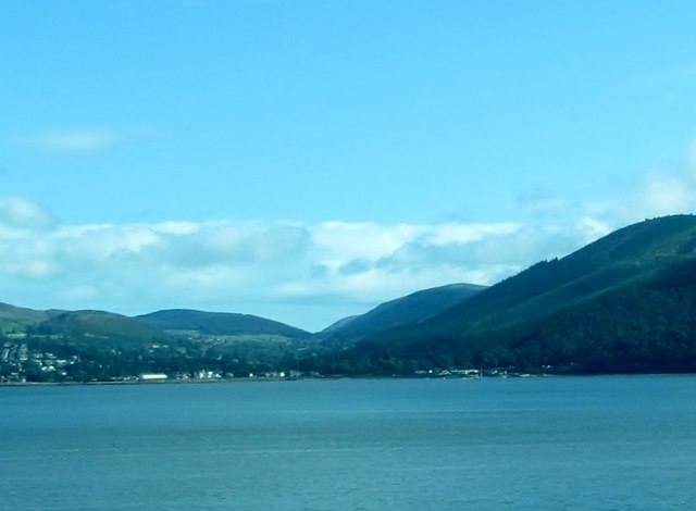
Image: © Eric Jones Taken: 21 Aug 2012
The image was taken from the R173 south of Omeath. The Carlingford Lough in the foreground is also fault-guided.
Images are licensed for reuse under creativecommons.org/licenses/by-sa/2.0
Image Location
Latitude
54.10822
Longitude
-6.184201