West Knitsley Grange
Introduction
The photograph on this page of West Knitsley Grange by Robert Graham as part of the Geograph project.
The Geograph project started in 2005 with the aim of publishing, organising and preserving representative images for every square kilometre of Great Britain, Ireland and the Isle of Man.

There are currently over 7.5m images from over 14,400 individuals and you can help contribute to the project by visiting https://www.geograph.org.uk
West Knitsley Grange
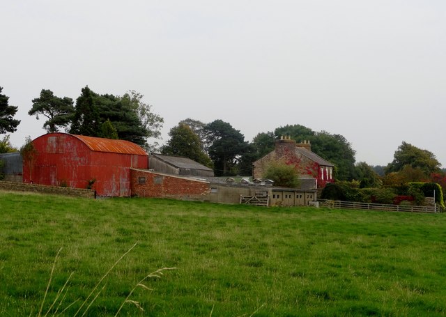
Image: © Robert Graham Taken: 21 Sep 2014
Viewed from Butsfield Lane, looking east. One of four farms in this grid square and all working ones too, which is most unusual these days.
Images are licensed for reuse under creativecommons.org/licenses/by-sa/2.0
Image Location
Latitude
54.831095
Longitude
-1.810987