Junction of Golding Lane with Hammerpond Road
Introduction
The photograph on this page of Junction of Golding Lane with Hammerpond Road by Andy Potter as part of the Geograph project.
The Geograph project started in 2005 with the aim of publishing, organising and preserving representative images for every square kilometre of Great Britain, Ireland and the Isle of Man.

There are currently over 7.5m images from over 14,400 individuals and you can help contribute to the project by visiting https://www.geograph.org.uk
Junction of Golding Lane with Hammerpond Road
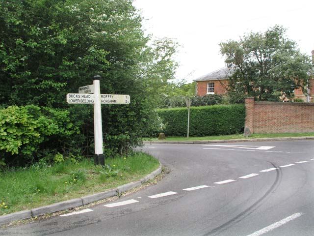
Image: © Andy Potter Taken: 10 May 2007
Just by Mannings Heath golf club Golding Lane takes you to Mannings Heath. On the grass verge on the far side of the junction are two WW2 road block buoys which were probably used with the other two at the back gate of Image, the front of which is visible behind the hedge and wall.
Images are licensed for reuse under creativecommons.org/licenses/by-sa/2.0
Image Location


Leaflet Map data © OpenStreetMap
Latitude
51.052638
Longitude
-0.274311