Laughter Hole House
Introduction
The photograph on this page of Laughter Hole House by jeff collins as part of the Geograph project.
The Geograph project started in 2005 with the aim of publishing, organising and preserving representative images for every square kilometre of Great Britain, Ireland and the Isle of Man.

There are currently over 7.5m images from over 14,400 individuals and you can help contribute to the project by visiting https://www.geograph.org.uk
Laughter Hole House
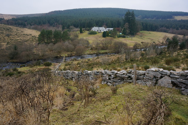
Image: © jeff collins Taken: 11 Feb 2015
Looking West back across the East Dart with Bellever Forest behind. Just in front of the camera is the wall and fence surrounding White's Slade enclosure.
Images are licensed for reuse under creativecommons.org/licenses/by-sa/2.0
Image Location
Latitude
50.566298
Longitude
-3.89175