Oystercatchers, Strangford Lough, Newtownards (February 2015)
Introduction
The photograph on this page of Oystercatchers, Strangford Lough, Newtownards (February 2015) by Albert Bridge as part of the Geograph project.
The Geograph project started in 2005 with the aim of publishing, organising and preserving representative images for every square kilometre of Great Britain, Ireland and the Isle of Man.

There are currently over 7.5m images from over 14,400 individuals and you can help contribute to the project by visiting https://www.geograph.org.uk
Oystercatchers, Strangford Lough, Newtownards (February 2015)
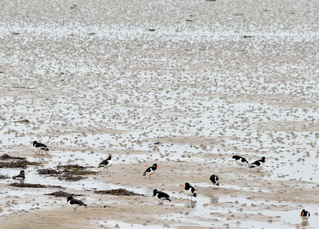
Image: © Albert Bridge Taken: 12 Feb 2015
Oystercatchers feeding on the inter-tidal mud of Strangford Lough, about 1¼ hours before low water Killyleagh.
Images are licensed for reuse under creativecommons.org/licenses/by-sa/2.0
Image Location
Latitude
54.576404
Longitude
-5.669275