Lower Costlyburn
Introduction
The photograph on this page of Lower Costlyburn by Anne Burgess as part of the Geograph project.
The Geograph project started in 2005 with the aim of publishing, organising and preserving representative images for every square kilometre of Great Britain, Ireland and the Isle of Man.

There are currently over 7.5m images from over 14,400 individuals and you can help contribute to the project by visiting https://www.geograph.org.uk
Lower Costlyburn
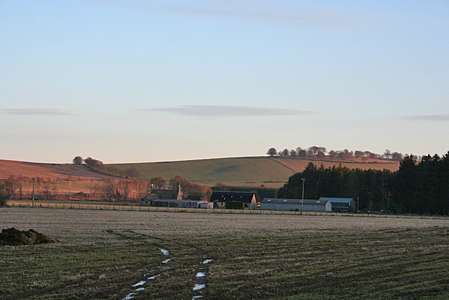
Image: © Anne Burgess Taken: 11 Feb 2015
The farm here is shaded not only by the plantation beside it, but also by the hill to the west, so that only the tops of its gables are still illuminated. On the skyline is Newtongarry Hill, still in the sunshine.
Images are licensed for reuse under creativecommons.org/licenses/by-sa/2.0
Image Location
Latitude
57.463113
Longitude
-2.728244