Strathblane and the Strathblane Hills escarpment
Introduction
The photograph on this page of Strathblane and the Strathblane Hills escarpment by M J Richardson as part of the Geograph project.
The Geograph project started in 2005 with the aim of publishing, organising and preserving representative images for every square kilometre of Great Britain, Ireland and the Isle of Man.

There are currently over 7.5m images from over 14,400 individuals and you can help contribute to the project by visiting https://www.geograph.org.uk
Strathblane and the Strathblane Hills escarpment
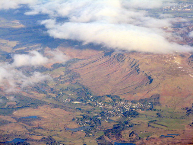
Image: © M J Richardson Taken: 9 Feb 2015
A view looking north from above Glasgow. The two bodies of water at the lower centre are the Deil's Craig Dam and Loch Ardinning.
Images are licensed for reuse under creativecommons.org/licenses/by-sa/2.0
Image Location
Latitude
55.987752
Longitude
-4.30669