Pontarddulais Public Realm Enhancement Scheme board
Introduction
The photograph on this page of Pontarddulais Public Realm Enhancement Scheme board by Jaggery as part of the Geograph project.
The Geograph project started in 2005 with the aim of publishing, organising and preserving representative images for every square kilometre of Great Britain, Ireland and the Isle of Man.

There are currently over 7.5m images from over 14,400 individuals and you can help contribute to the project by visiting https://www.geograph.org.uk
Pontarddulais Public Realm Enhancement Scheme board
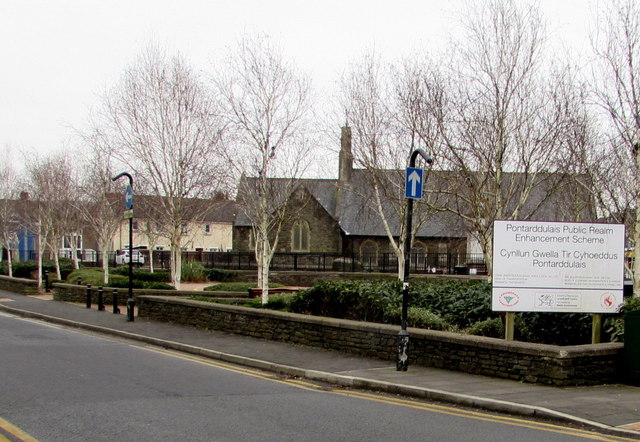
Image: © Jaggery Taken: 11 Feb 2015
On the corner of Water Street and St Teilo Street. Public sector investment has improved the fabric and infrastructure of the town centre in an area that has had a major decline in local employment opportunities since the 1980s.
Images are licensed for reuse under creativecommons.org/licenses/by-sa/2.0
Image Location
Latitude
51.71576
Longitude
-4.043867